|
Digitized facsimile version of Frederik den Femtes Atlas |
|
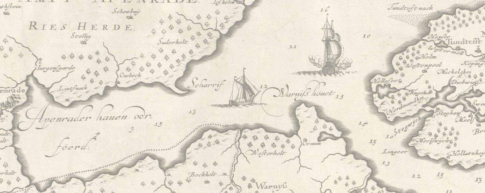
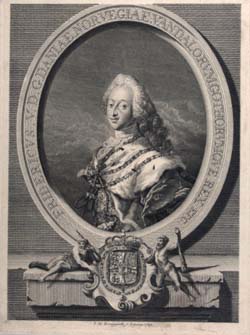
In the autumn of 2003 the Map Collection started - as part of it's digitizing programme - to digitize Frederik den Femtes Atlas. In that connection the idea occurred of making a browsing version on the internet to present one of the treasures of the Collection. The maps and prints have been digitized in the same order as in the books. Because of the binding it has not been possible to digitize all maps quite flatly which causes some lack and distortion in the middle of the pictures. When browsing through the pictures you can dobble-click on them, which makes it possible to see them in a very high definition. That presupposes that you download the programme: DJVU with a zooming function that allows you to see all details. Download DJVU: Click here The titles of maps and prints will be added the browsing version when they are catalogued electronically. The former head of the Map Collection, Ib Rønne Kejlbo made a description of the Atlas and all manuscript maps in the book: Manuscript Maps in the Frederik den Femtes Atlas. The book has been digitized as 38 PDF files (40KB). Available with Acrobat Reader: Click here The map on the frontpage is from volume 2, page 18. It is a hand drawn worldmap from 1735 by Frederic Briand de Crevecour. The portrait of King Frederik den Femte is an engraving by C. G. Pilo from Müller's Pinakoteca If you have additional questions please send an email to the department: kob@kb.dk
|
|
|
|
|